


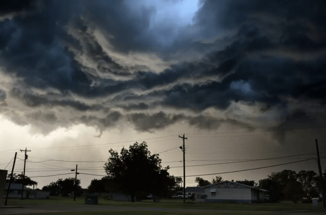
Severe weather has returned to Central Texas, with the National Weather Service (NWS) issuing multiple tornado warnings for communities in the Hill Country. At 7:17 a.m. Tuesday, the NWS released an alert for Johnson City and northwest Blanco Counties. Residents in and around Luckenbach, Stonewall, and Hype are urged to seek shelter immediately, according to a post from the agency on X (formerly Twitter).
A separate tornado warning was also issued for Marble Falls, Horseshoe Bay, and Meadow Lakes, remaining effective until 8:30 a.m. The NWS reports that radar has indicated the presence of a possible tornado within these storm systems, alongside the threat of damaging winds and quarter-sized hail.
Additionally, a severe thunderstorm warning is active for Johnson City, Stonewall, and Blumenthal until 8 a.m., as forecasters continue to monitor volatile atmospheric conditions. 
A broader severe thunderstorm watch will remain in effect through 10 a.m. across the Hill Country region. The NWS warns that tennis-ball-sized hail, 65 mph wind gusts, and isolated tornadoes are possible in Bandera, Edwards, Kendall, Kerr, Medina, and Real counties.
“The threat of severe weather and locally heavy rainfall continues today mainly for areas north of I-10 and from the eastern Hill Country eastward,” said the agency in its most recent outlook.
The weather agency has also elevated parts of eastern Central Texas—including Lee County, eastern Williamson, northeastern Travis, northern Bastrop, and northern Fayette counties—to an enhanced risk category. These areas should remain vigilant throughout the day.
Residents across the affected counties are strongly advised to stay informed through local alerts and weather apps, and to prepare emergency plans in the event of further warnings or power outages.